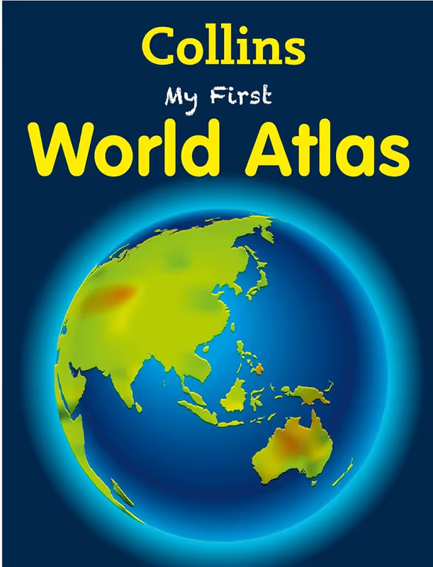
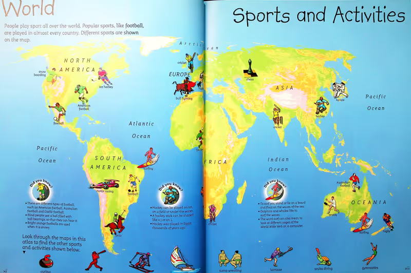
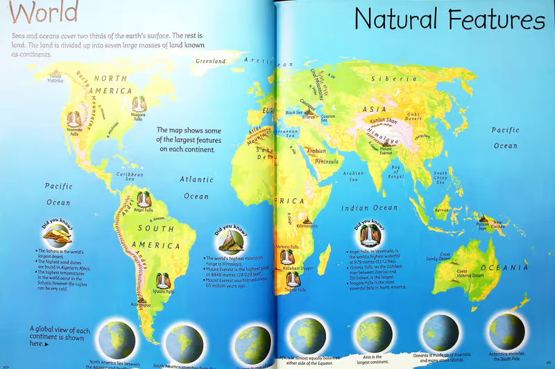
My First Atlas is an illustrated pictorial atlas which takes children on a journey of discovery around the countries of the World.
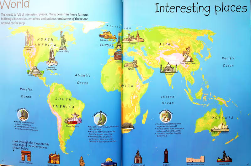
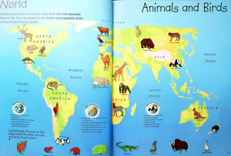
The atlas is clear, colourful and highly informative. Topics are introduced globally to explain simply the use of illustrations selected on the regional mapping. Mapping is arranged by continent for easy reference, each map is packed with useful statistics and fascinating facts about the world we live in.
Educational and entertaining, and full of colourful photographs. Supporting facts and quizzes.
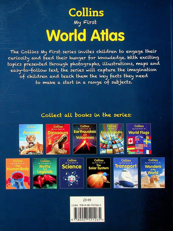
Part of Collins ‘My First’ series of reference books for young readers.
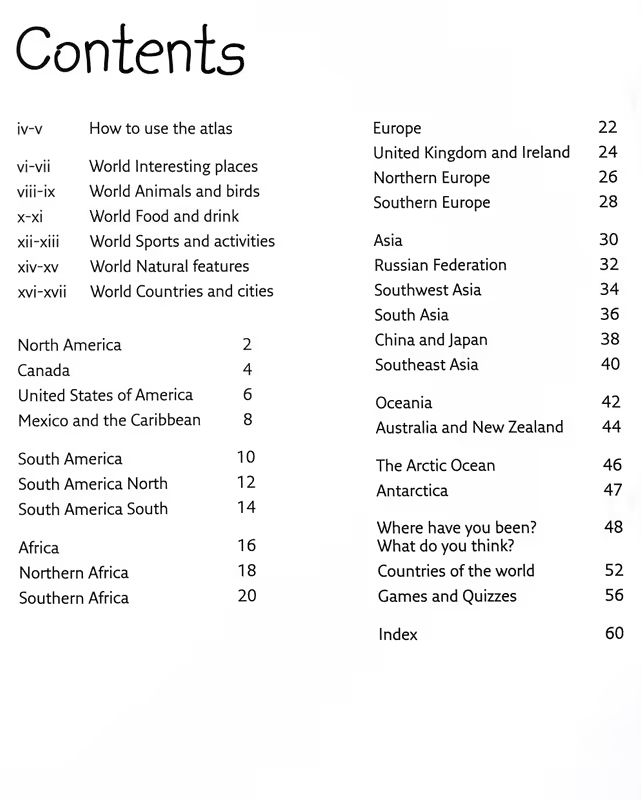
Content breakdown
• Introduction
• World maps
• North America
• South America
• Africa
• Europe
• Asia
• Oceania
• Activities
